|
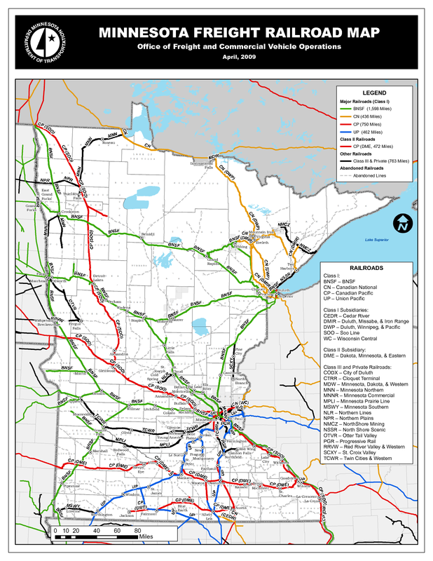
Minnesota's Highways and Interstates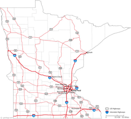
|
All four of these maps are very different in what they represent, yet they are also very similar. If it was possible to overlay these maps on top of one another, you would see that the densest railroads, highways/interstates and population are centrally located near Minneapolis, MN! Between all four of these maps you can see that the major railroad tracks are in the same areas where most highways/interstates are also located. Likewise, the greatest populated areas are also close to both railroads and highways, which is indicated by the darker color in the map below (left). The lakes and rivers are not necessarily dense in just one area like the others are, but are important and used in major cities where both transportation and population are common.
Minnesota's Population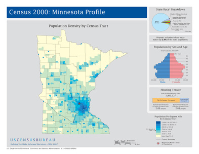
|
Minnesota's Lakes and Rivers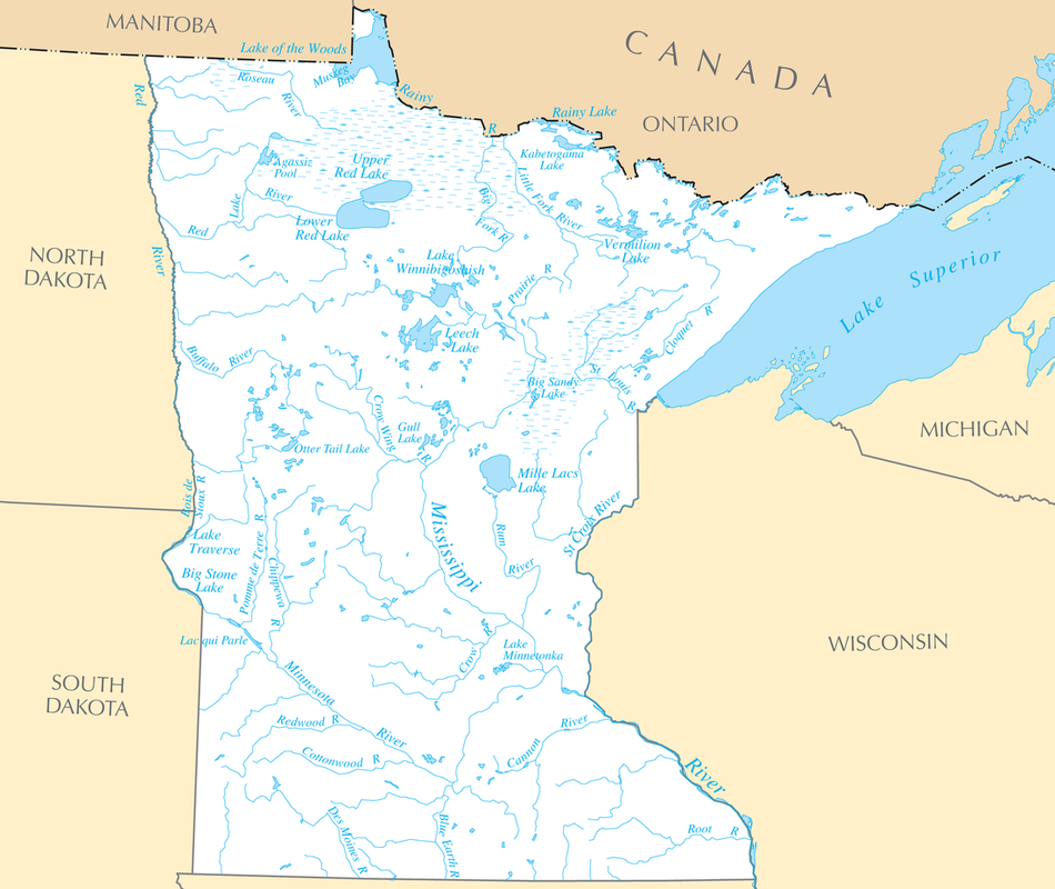
|
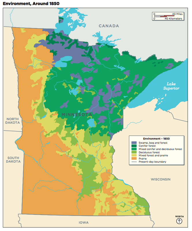
Minnesota around 1850
|
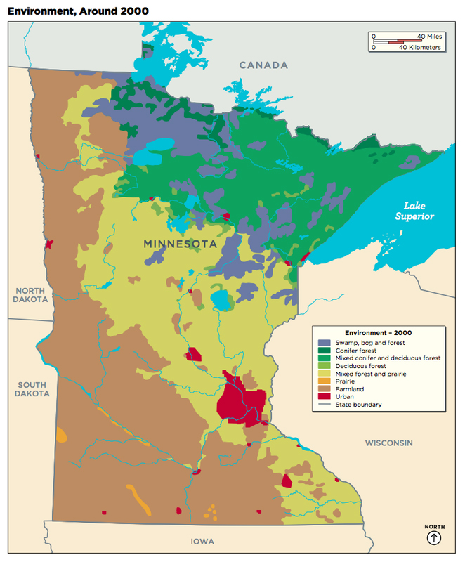
Minnesota around 2000
|
In 1850, prairie land was abundant and now, in the present, it has been nearly completely replaced by farmland. The reason for that is because food is in such high demand and its a productive way to make money and save money. One of the other present changes is that MN has a dense urban area, indicated by a big red circle and a few little ones on the map. Another major change in 2000, is the diminished areas of both coniferous and deciduous forests. In fact, they diminished by over a quarter! These are only some of the changes in these two maps and feel free to search for more!