In this page you will be able to see the lakes and rivers along with dominant source of plant life or climates such as a biomes map!
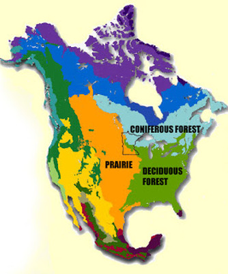
This is a biome map
|
This is a biomes map of North America showing three distinct plant life areas, all of which are part of MN. One of these areas is called "Coniferous Forest." This is a type of forest characterized by trees that have needles and produce cones. Another area is called the "Prairie." It is characterized by grassland. Lastly, is an area called "Deciduous Forest," which is an area that has trees that, when maturity is reached (or seasonally), has its leaves fall off.
|
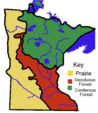
Second Biomes Map
|
This biomes map is very similar to the one above except this map focuses on Minnesota, instead of North America as a whole. Also shown are lakes and rivers, unlike the top. |
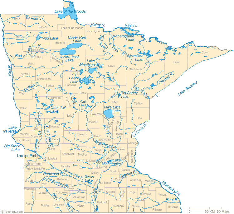
This is a map of all the bodies of water in Minnesota.
|
This map shows the names and locations of all the lakes in MN. You can see that all the lakes have some sort of river running through them. Lake Itasca is where the beginning of the second largest river in America begins. This river is called the Mississippi River and it drains into the Gulf of Mexico!
|
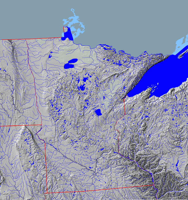
This is a second map of all the bodies of water in Minnesota.
|
In this map you can identify where all the 10,000 lakes are (with no names)! If you are curious as to what that big blue area on upper right is, then your in luck!! It is Lake Superior. Carefully follow the red /purplish MN border or you may find yourself in the wrong state! |